To Lake Getrum and the Croce di Lazfons: The tour in the Sarentino Alps starts at the mountain station of the Reinswald Cable Car
Image gallery: Mountain tour to the Santa Croce di Lazfons
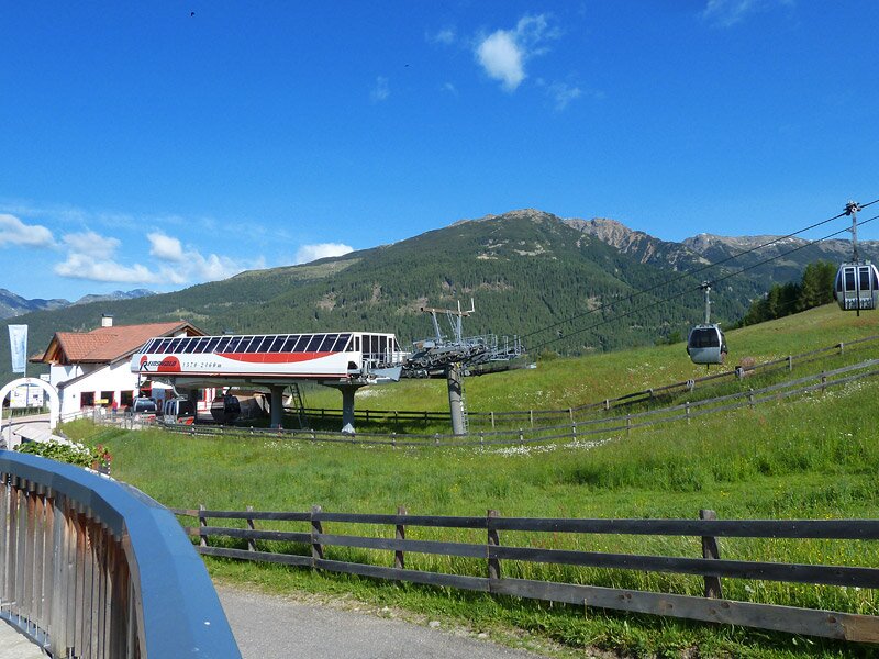
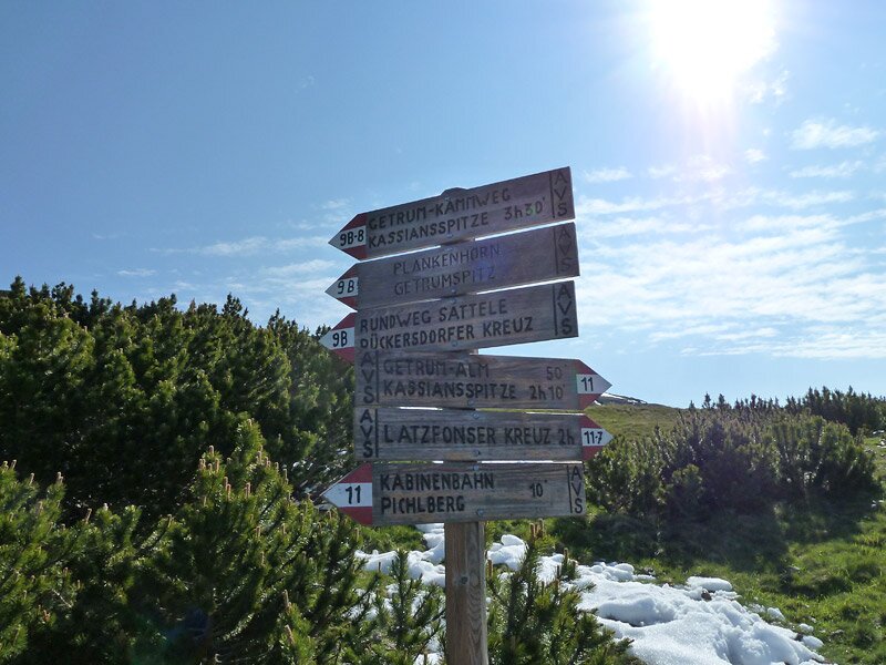
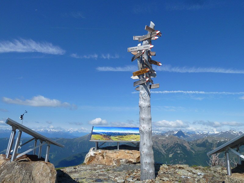
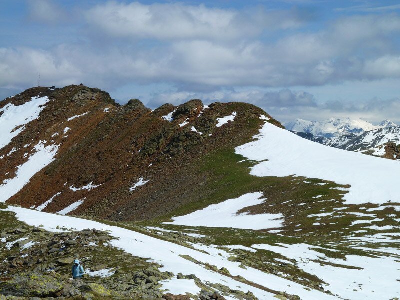
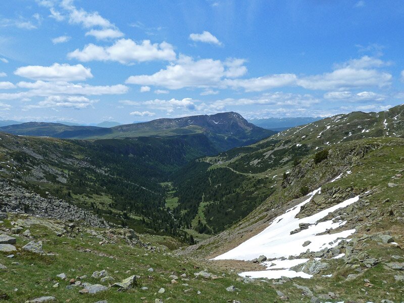
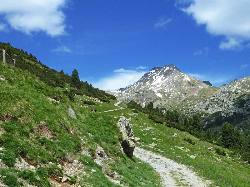
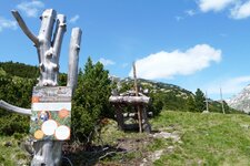
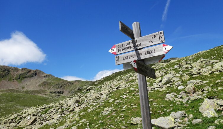
We take the cable car from San Martino in the Val Sarentino up to the Pichlberg mountain station, the starting point of our hike. We set off: We follow the path up to the Sattele, the small elevation above the Reinswald Skiing Area. From the summit cross, we follow the Getrum High Route - it is meant to lead us first to Mt. Corno Planca and then to the 2,588-metre-high Cima Getrum.
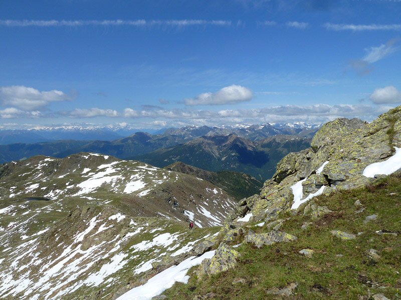
The icy wind on this June day and the snowfields left by a cold snap a few days ago make us change our plan. We only walk along the Getrum High Route as far as the Corno Planca. Then, we descend the narrow path to Lake Getrum in the Sarentino Alps.
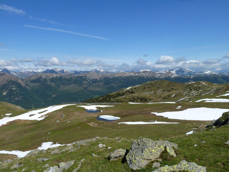
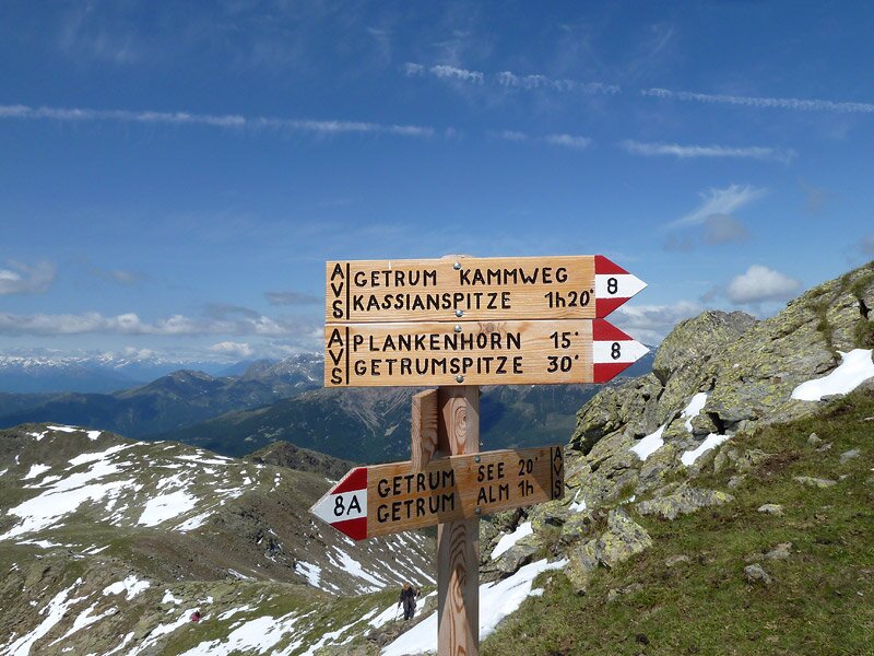
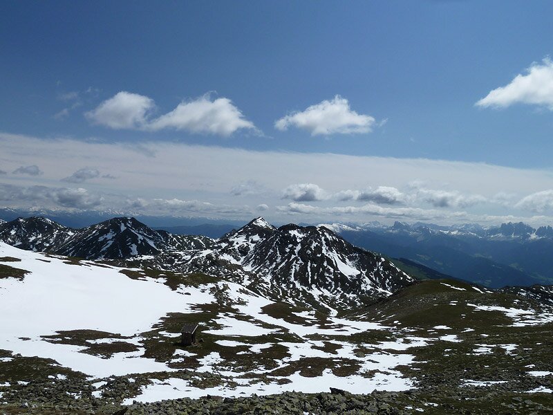
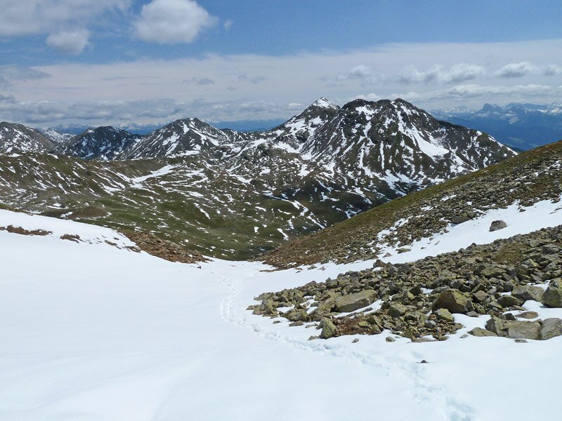
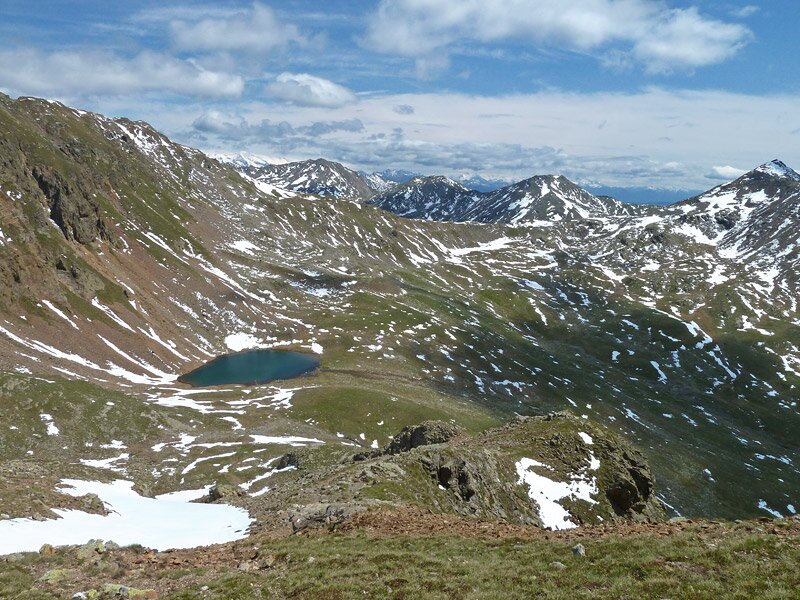
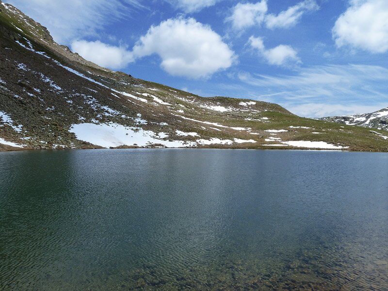
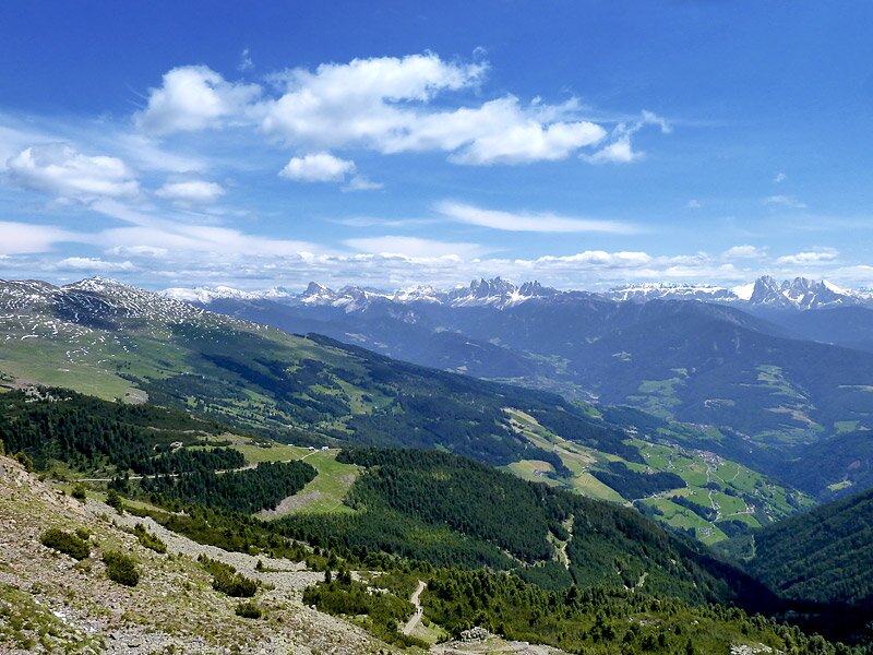
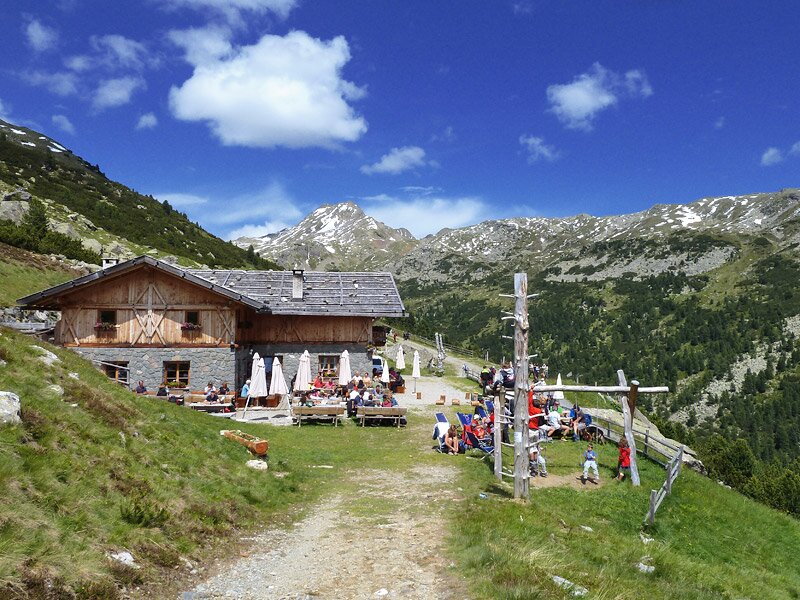
Incidentally, the Getrum High Route itself is a challenging four- to five-hour ridge hike between Pichlberg, Mt. Corno Planca, Mt. Cima Getrum, and Mt. Cima San Cassiano. The clear water of Lake Getrum reflects the snowfields of the Cima San Cassiano. We continue towards the Valle di Getrum valley until we meet the path to the Croce di Lazfons. This leads over the Lücklscharte gap. After a gentle climb and a short descent, we have already reached the mountain hut.
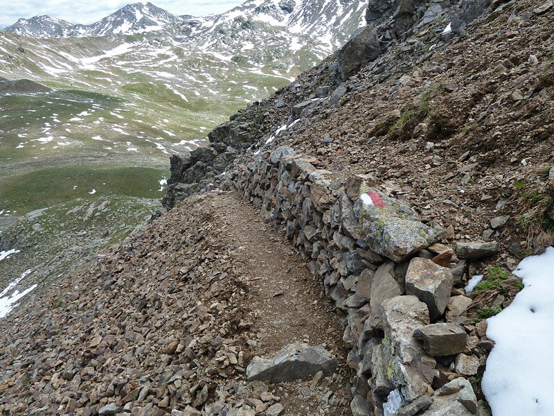
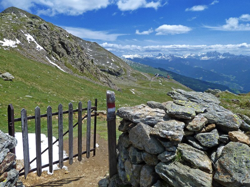
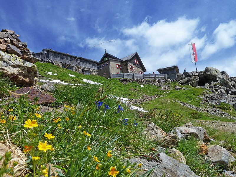
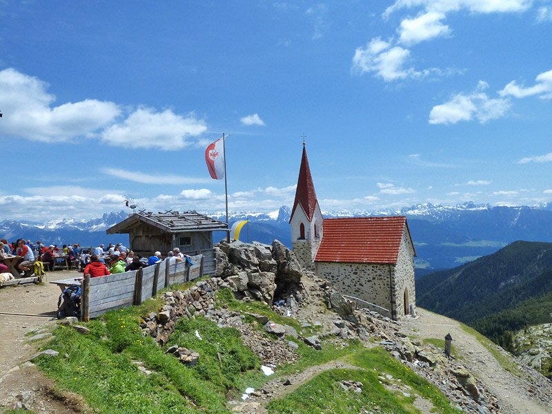
At the Santa Croce di Lazfons Mountain Hut at an altitude of over 2,300 metres, the hiking routes from the Villandro and Velturno Alps converge. The adjacent church is the highest pilgrimage site in Europe. After a short rest with views of the Dolomites, we head back. After crossing the Lücklscharte gap, we hike via the Getrum Hut instead of following our outbound route. From the hut, the pleasantly wide path leads back to the Pichlberg mountain station.
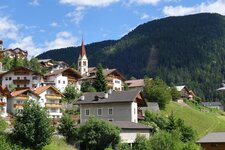
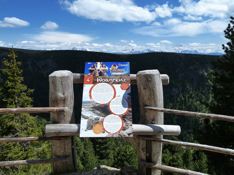
This last section also corresponds to a part of the Urlesteig trail, which features numerous stations for families with children. Then, we reach the cable car. By the way: The Croce di Lazfons and Mt. Cima San Cassiano can also be reached on a hike from Villandro in the Valle Isarco.
Author: AT
Experienced: June 2018
Last updated: 2026
-
- Starting point:
- mountain station of the Reinswald Cable Car (2,131 m a.s.l.)
-
- Overall time:
- 04:30 h
-
- Total route length:
- 12,5 km
-
- Altitude:
- from 2.094 m to 2.575 m
-
- Altitude difference (uphill | downhill):
- +699 m | -699 m
-
- Signposts:
- "Kammweg", no. 9B, 8A, 7C, 7, 11
-
- Destination:
- Croce di Lazfons Mountain Hut (2,311 m a.s.l.)
-
- Resting points:
- Pichlberg mountain restaurant at the starting point, Croce di Lazfons Hut, Getrum Hut (both from May to October)
-
- Recommended time of year:
- Jan Feb Mar Apr May Jun Jul Aug Sep Oct Nov Dec
-
- Download GPX track:
- Mountain tour to the Santa Croce di Lazfons
-
- More information:
- The overall time shown above refers to the walking time only, not including breaks or stops. The highest point of the mountain tour ist the 2,575-metre high Corno Planca.
If you want to undertake this hike, we recommend checking the weather and trail conditions in advance and on site before starting this hike!