The hike via the Durr Hut leads us up to the beautiful Lake San Pancrazio, a peaceful spot in the Sarentino Alps
Image gallery: Hike to the Lago San Pancrazio in the Sarentino Alps
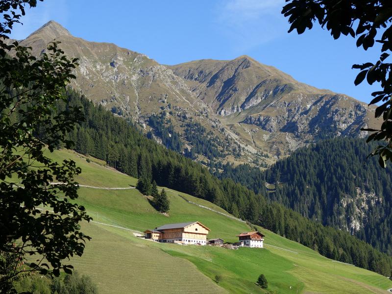
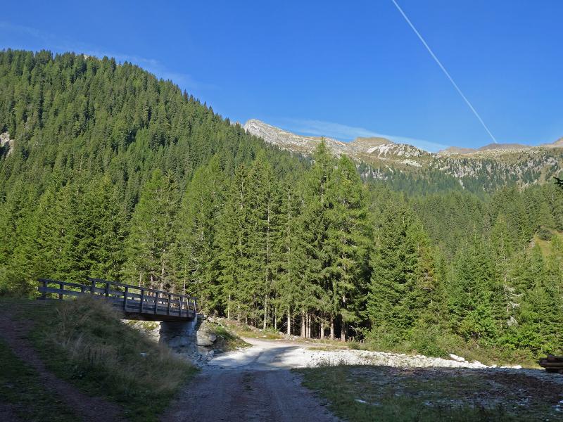
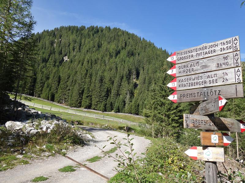
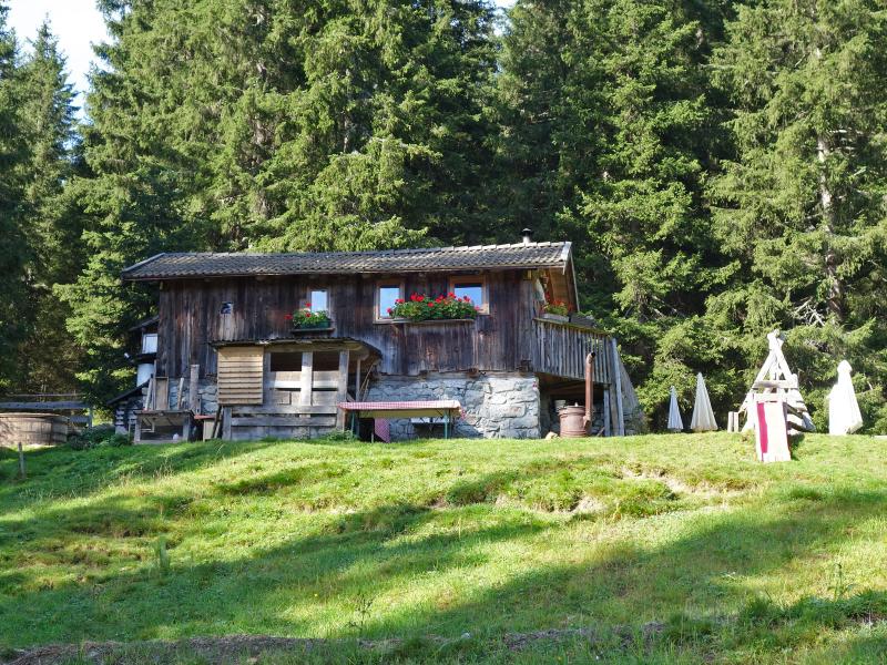
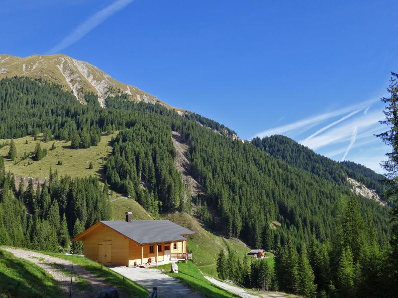
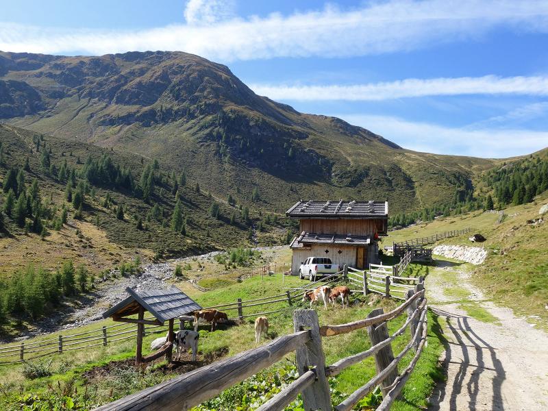
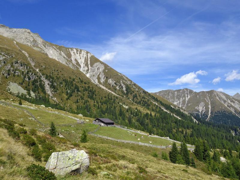
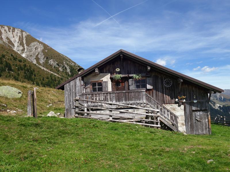
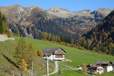
At the level of the Liepert-Höfe farms in the Val di Pennes, after the Trappmann inn, we turn left and drive up the road towards the Baumann-Hof. We park on the roadside after the second bend. This is where the "Ochsenwald" gravel forest road begins. We start our hike here, following the signpost for "Durralm" into the Rio Sag Valley (Sagbachtal). After a while, the road crosses the Rio Sag stream, and we reach the Durr Mountain Hut at an altitude of 1,568 metres.
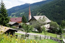
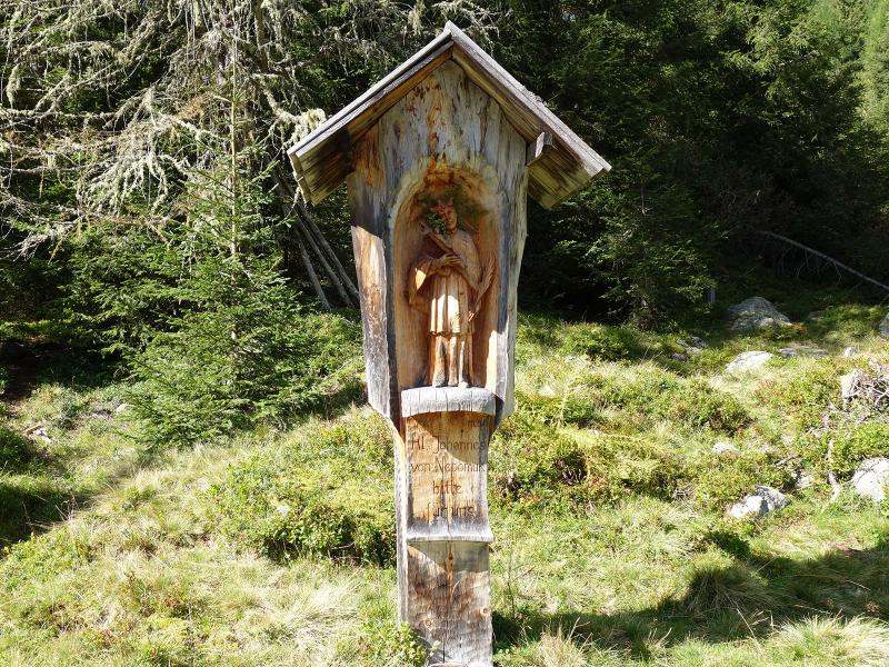
The small hut serves classic alpine specialities such as dumplings, Speck, and homemade apple strudel. It also marks the end of the Sonvigo Legends Trail. This theme path follows path no. 13 from the Wippinger Farm up to the hut, telling and illustrating nine local legends along the way.
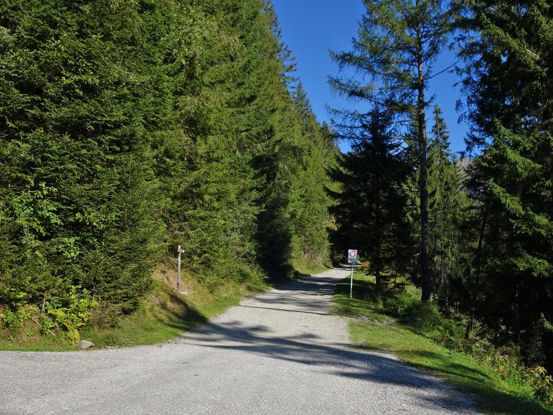
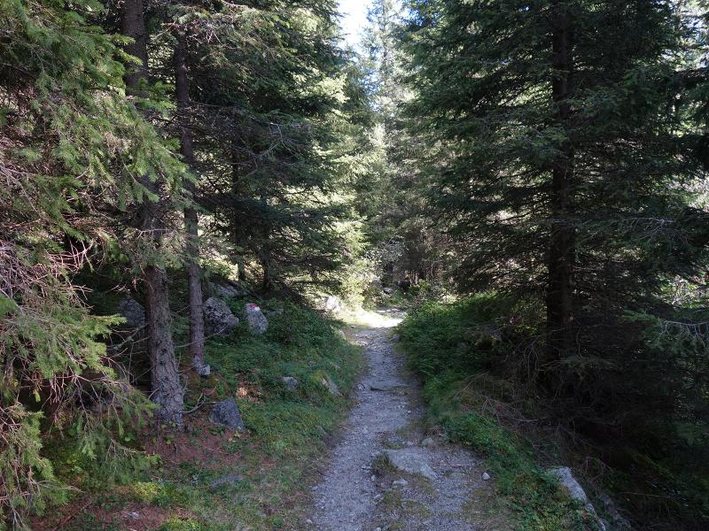
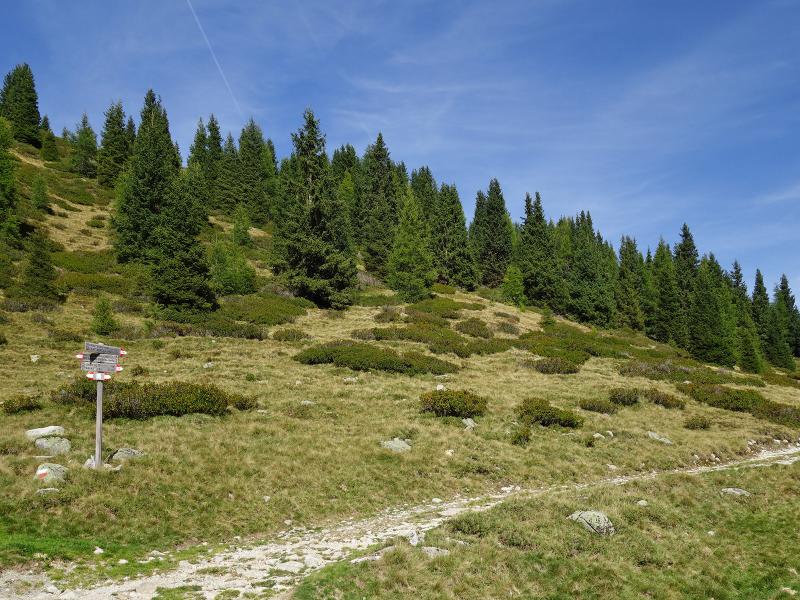
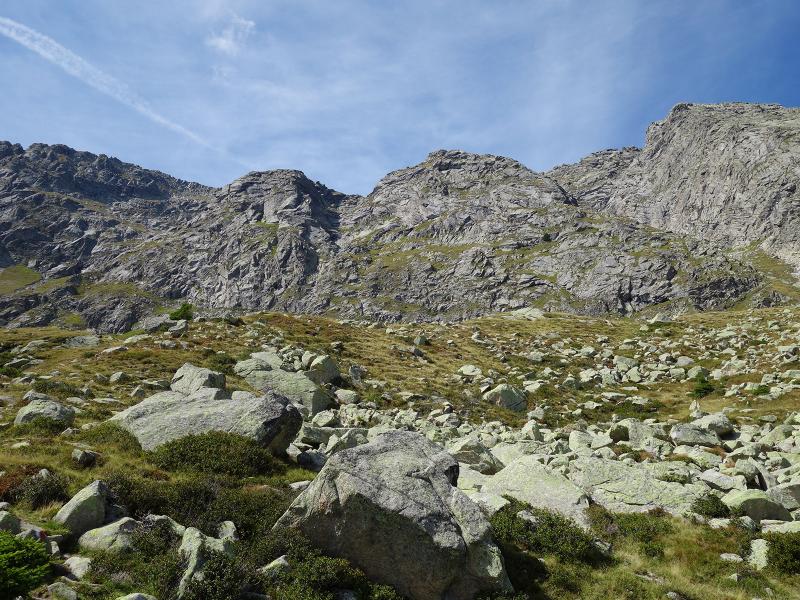
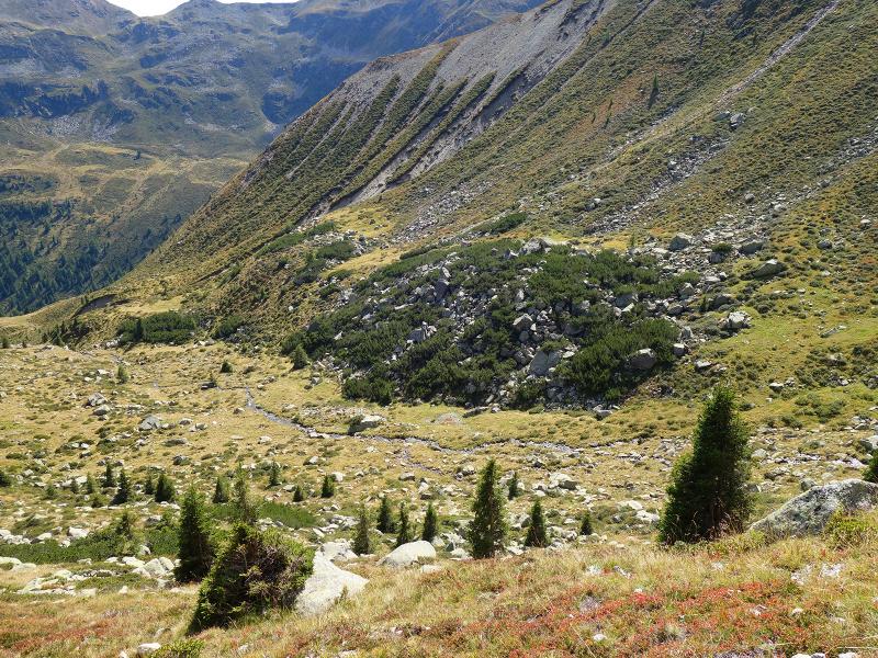
We continue walking through the forest on path no. 13 and then follow the stream to the unmanaged Kaserwies Hut. Instead of climbing further to the Giogo di Pietramala ridge (Missensteiner Joch), we take the path on the right towards the San Pancrazio Hut. The short, steep ascent to Lake San Pancrazio, or Kratzberger See, begins there.
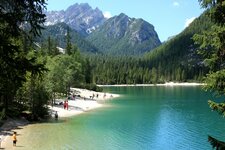
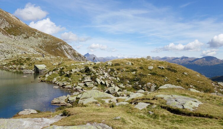
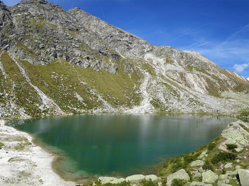
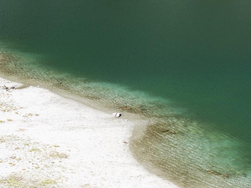
The lake suddenly appears before us, resting amidst a rocky landscape. Its name derives from Saint Pancras. It is one of the less frequented mountain lakes in South Tyrol and makes a lovely destination for families, nature enthusiasts, and those seeking tranquillity. Behind it, the rock faces of the Cima delle Laste peak rise towards the sky in the western ridge of the Sarentino Alps.
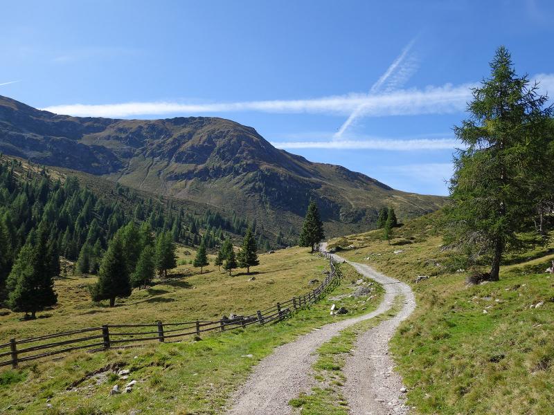
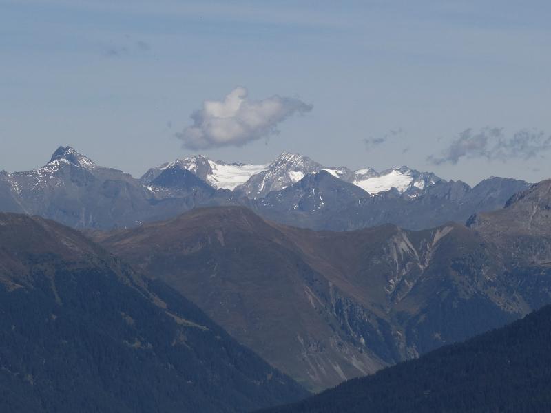
Here at an altitude of 2,120 metres, the panoramic view continues to open up. The neighbouring peaks of the Sarentino Alps and the main Alpine ridge spread out before us, featuring the glaciers of the Stubai, Tux, and Zillertal Alps. We return to the valley along the same route.
Author: AT
Experienced: September 2019
Last updated: 2026
-
- Starting point:
- junction at the Baumann Farm (above Liepert in the Val di Pennes, 1,405 m a.s.l.)
-
- Overall time:
- 04:00 h
-
- Total route length:
- 11,3 km
-
- Altitude:
- from 1.405 m to 2.120 m
-
- Altitude difference (uphill | downhill):
- +712 m | -712 m
-
- Route:
- Pennes Valley - Durr Hut - Kaserwies Hut - San Pancrazio Hut - Lake San Pancrazio - San Pancrazio Hut - Kaserwies Hut - Durr Hut - Pennes Valley
-
- Signposts:
- "Ochsenwald" forest road, "Durralm", no. 7, 13, 4A
-
- Destination:
- Lake San Pancrazio (2,120 m a.s.l.)
-
- Resting points:
- Durr Mountain Hut (June to November)
-
- Recommended time of year:
- Jan Feb Mar Apr May Jun Jul Aug Sep Oct Nov Dec
-
- Download GPX track:
- Hike to the Lago San Pancrazio in the Sarentino Alps
-
- More information:
- The overall time shown above refers to the walking time only, not including breaks or stops. The lake can also be reached from the mountain station of the Meran 2000 Cable Car.
If you want to undertake this hike, we recommend checking the weather and trail conditions in advance and on site before starting this hike!