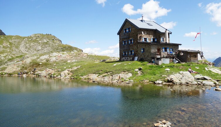
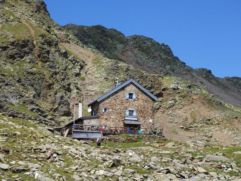
The Forcella Vallaga Hut is located at almost 2,500 metres above sea level in the eastern Sarentino Alps
Image gallery: Hike to the Rifugio Forcella Vallaga
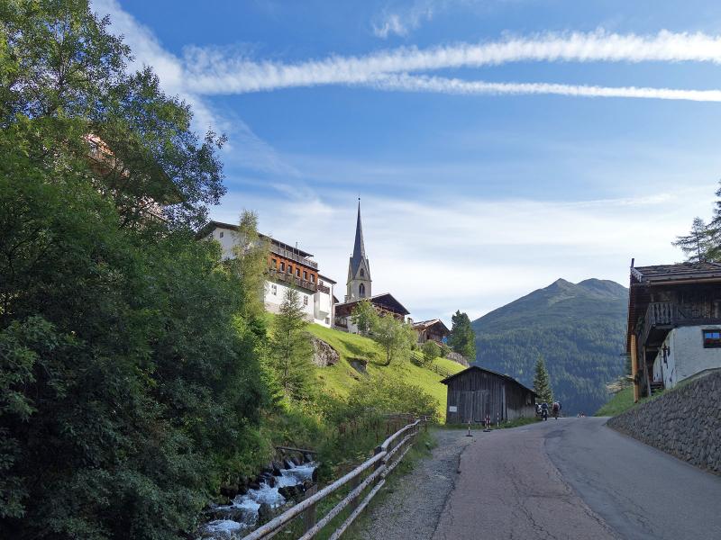
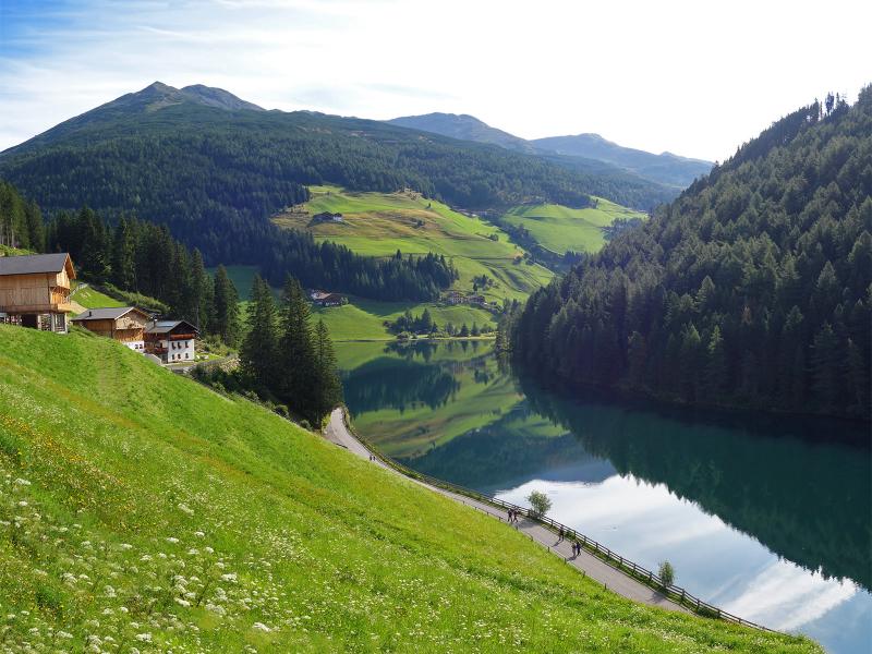
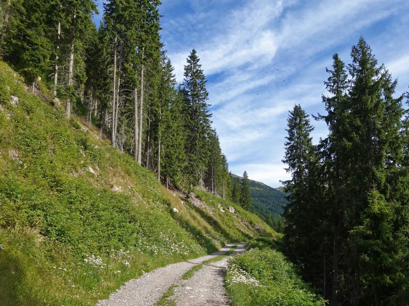
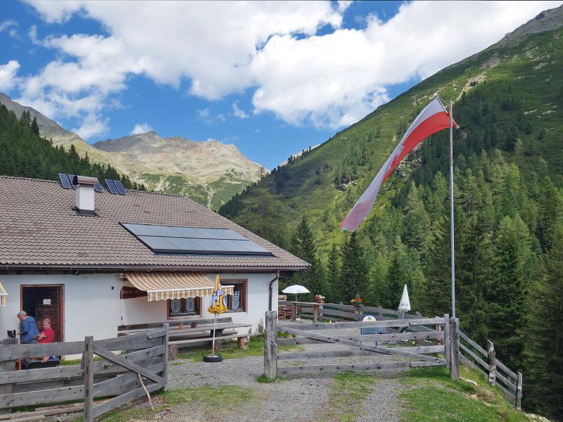
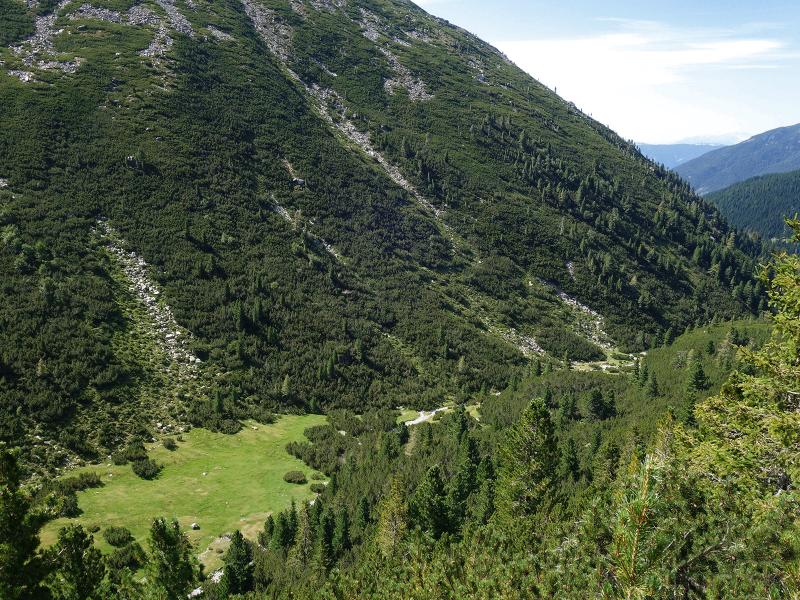

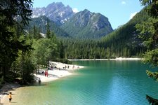
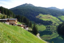
The car park below Valdurna in the Val Sarentino serves as the starting point for this moderate mountain hut hike. We walk through the village towards the Seeb Hut, following the meadow slope past a few farms. The path, which is paved with asphalt at first, offers a fine view of the idyllic Lake Valdurna. We continue along the gravel road through the forest.
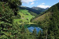
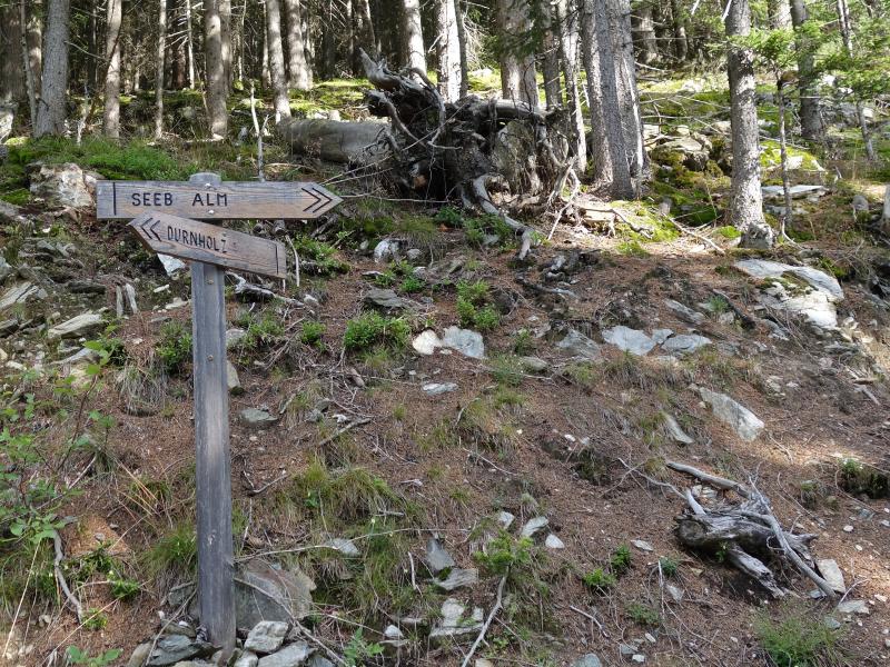
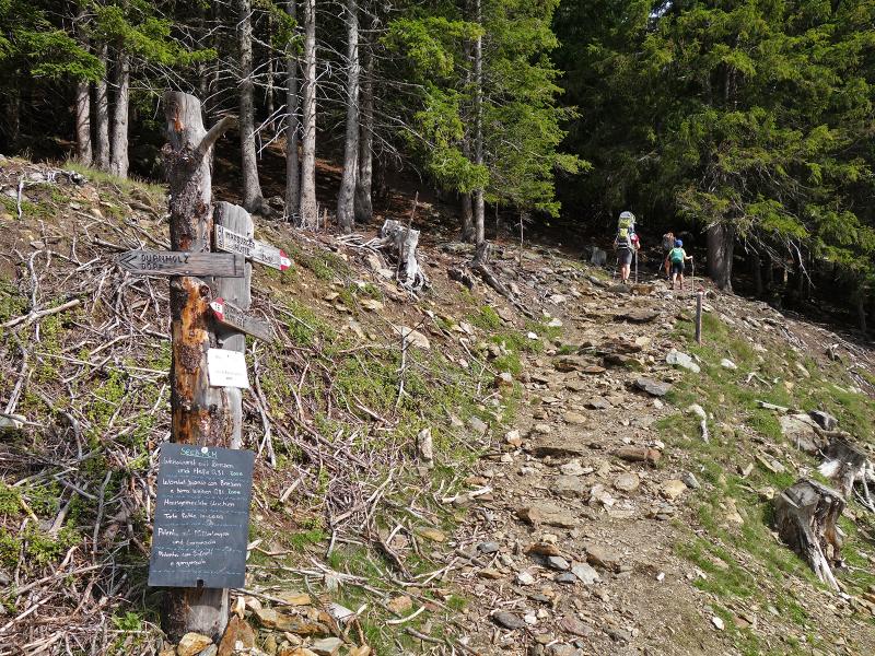
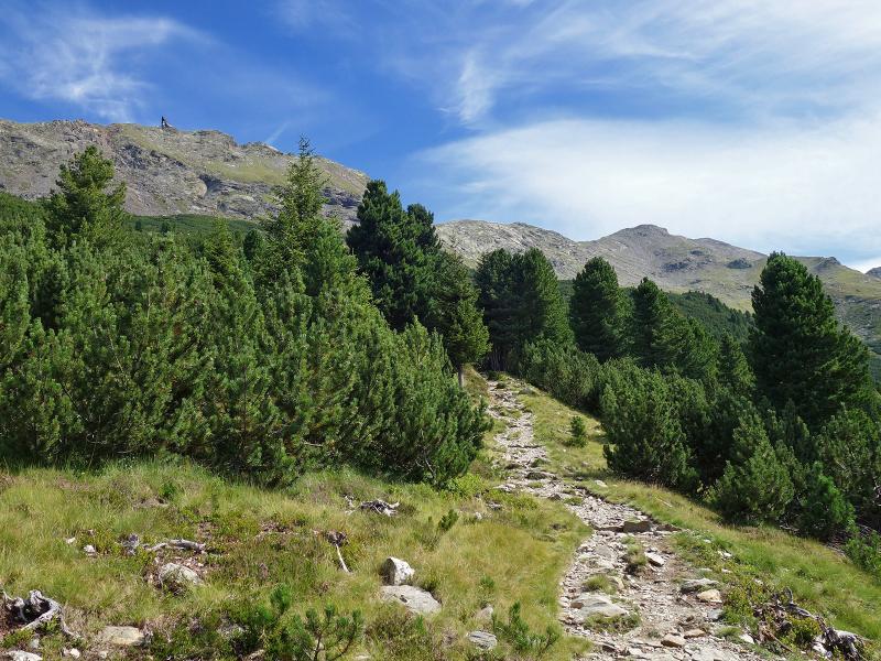
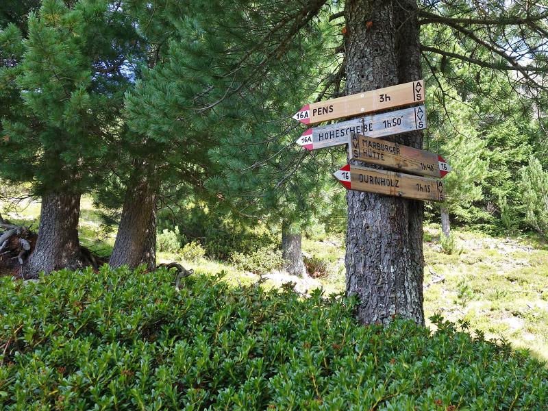
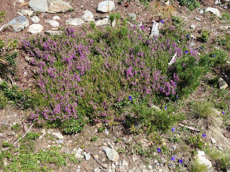
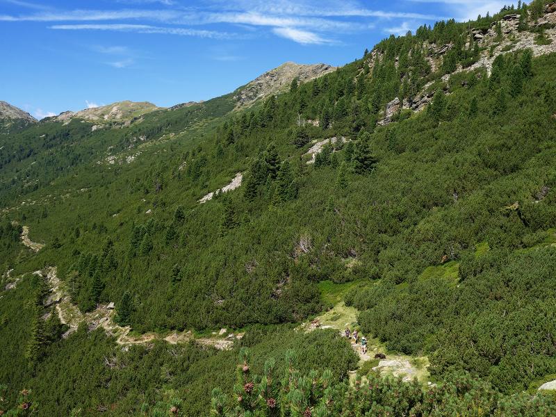
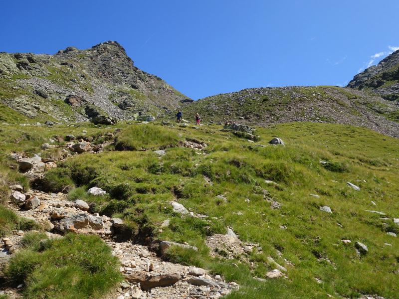
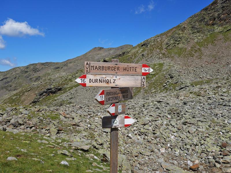
We pass the Seeb Hut and take path no. 16. The somewhat rocky and occasionally steep hiking trail leads first through the forest up to the tree line, then through mountain pines and high alpine meadows above the 2,000-metre mark. The steepest section comes at the end.
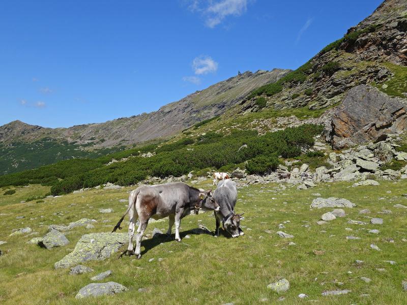
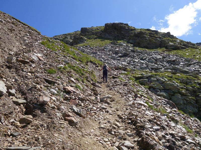
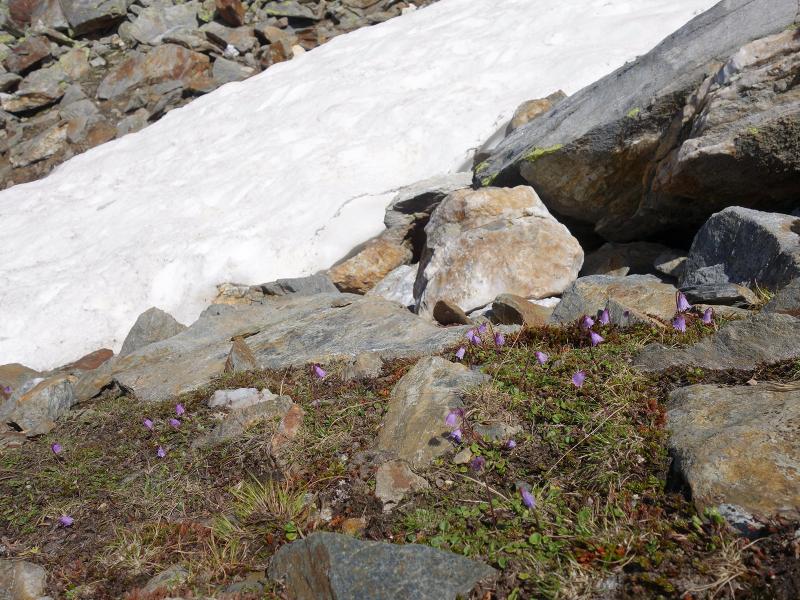
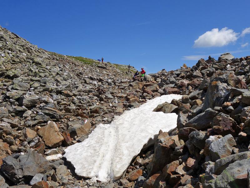
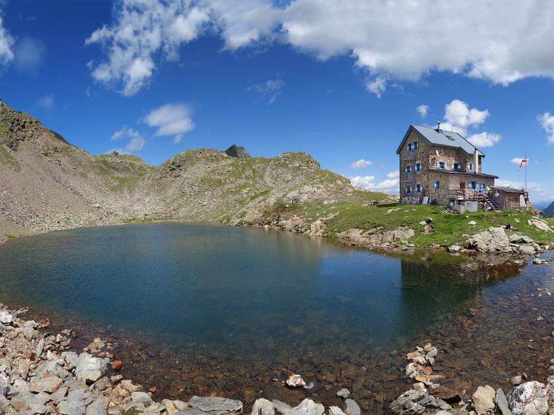
The path winds up through scree slopes to the Forcella Vallaga ridge, a crossing to the Upper Valle Isarco side of the Sarentino Alps. Isolated patches of snow still lie along the trail. From here, it is only a few minutes up to the Forcella Vallaga Mountain Hut, or Flaggerschartenhütte. A small mountain lake is located in front of the hut, with the 2,708-metre-high Corno di Tramin rising behind it. The hut is also a stop on the Horseshoe Tour across the Sarentino Alps.
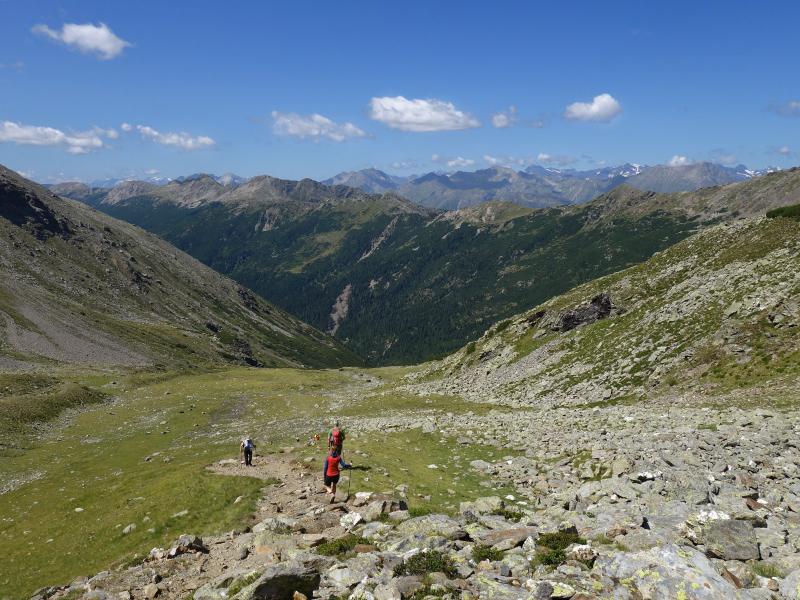
Paths lead to the surrounding peaks and down into the Upper Valle Isarco. After a rest at this pleasant spot, we head back down the same path to Valdurna, where we arrive after five hours.
Author: AT
Experienced: August 2019
Last updated: 2026
-
- Starting point:
- parking space below Valdurna (1,510 m a.s.l.)
-
- Overall time:
- 05:00 h
-
- Total route length:
- 14,7 km
-
- Altitude:
- from 1.510 m to 2.486 m
-
- Altitude difference (uphill | downhill):
- +976 m | -976 m
-
- Signposts:
- no. 16, 15
-
- Destination:
- Forcella Vallaga Hut (2,486 m a.s.l.)
-
- Resting points:
- Seeb Hut (May to September), Forcella Vallaga Hut (June to September/October)
-
- Recommended time of year:
- Jan Feb Mar Apr May Jun Jul Aug Sep Oct Nov Dec
-
- Download GPX track:
- Hike to the Rifugio Forcella Vallaga
-
- More information:
- The overall time shown above refers to the walking time only, not including breaks or stops.
If you want to undertake this hike, we recommend checking the weather and trail conditions in advance and on site before starting this hike!