High moorland and a sunny terrace… a hike to the Alpe di Villandro reveals many small surprises
Image gallery: Hiking to the Villandro Alp
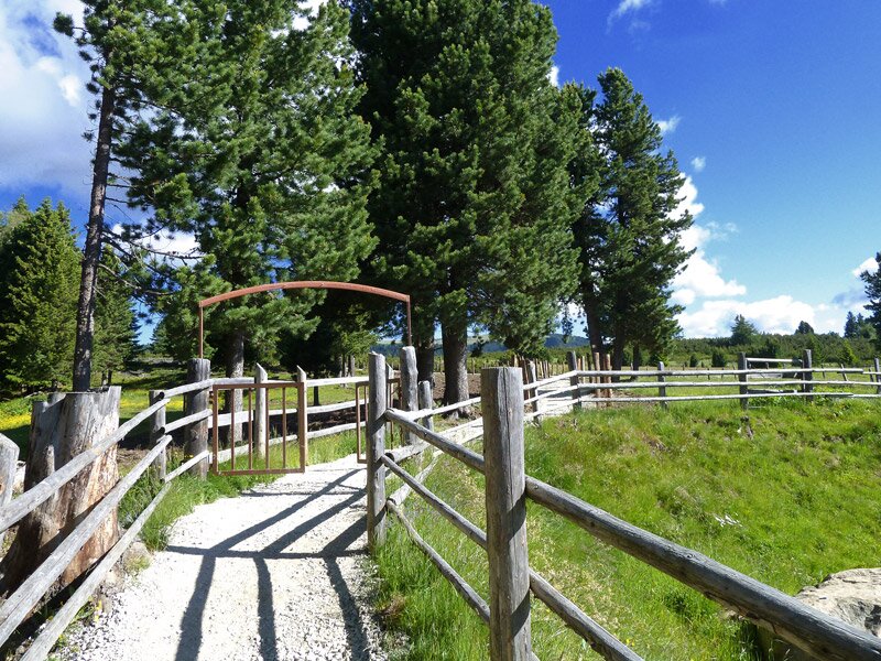
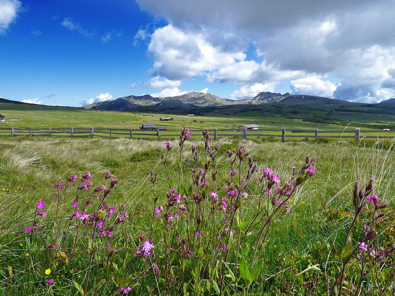
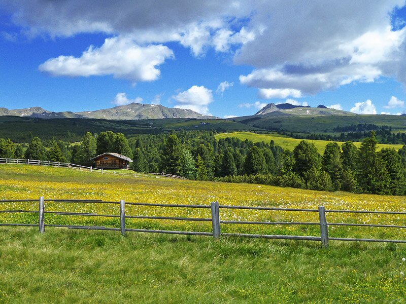

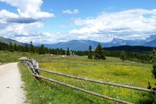
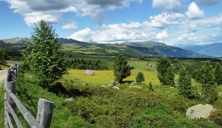
The Villandro Alp (Villanderer Alm) is an extensive high-altitude pasture above the village of Villandro and at the foot of the Monte Villandro, stretching between the Rio Tina and the Rio degli Orti streams. Lush green meadows, moorland, small lakes, and grassy hilltops, along with traditional alpine huts, define the area and make it a popular hiking destination.
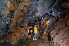
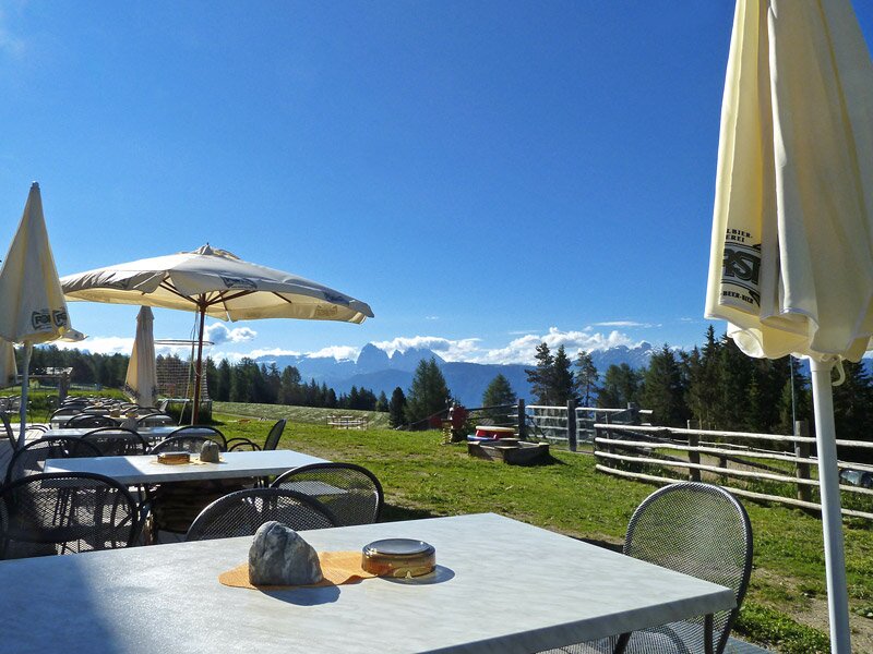
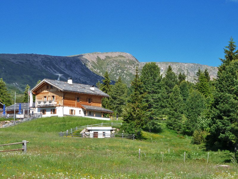
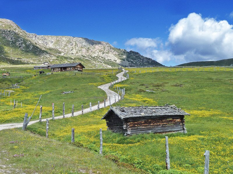
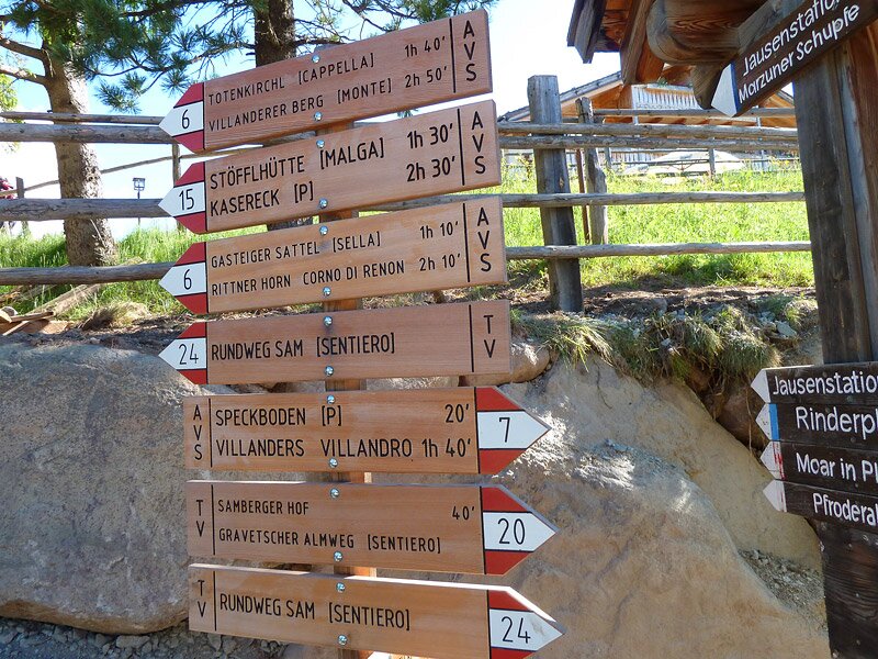
From Oberland - which incidentally is also home to the highly interesting Villandro Silver Mine - we reach the Gasser Hut. Our hike starts here. We follow path no. 6 to the Scheibenstock wayside shrine and then continuously follow the 14 stations of the cross through the moorland meadows to the tiny "Totenkirchl" chapel at an altitude of almost 2,200 metres.
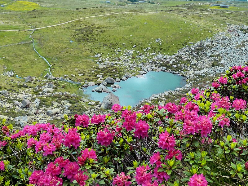
The small church, literally the Church of the Dead, is the oldest pilgrimage site in South Tyrol. Once you arrive here, you can also visit Lake Totensee, the Lake of the Dead: Simply follow path no. 2A. Comfortable wooden loungers are positioned on the shore of the mountain lake, and the view of the Dolomites is striking. Path no. 6 then leads us to the Prackfiederer Jöchl pass - there are several serviced huts along the whole route described here.
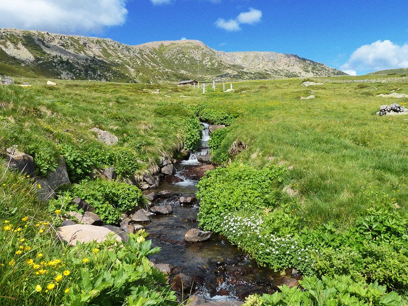
This is path no. 16B with the blue and white markings. We then begin our return journey via hiking paths no. 16 and 16A, eventually making our way back to the alpine pasture area. From here, we follow the signs to the Gasser Hut, where we arrive after a walking time of almost four hours.
Author: AT
Experienced: July 2013
Last updated: 2026
-
- Starting point:
- Gasser Hut on the Villandro Alp (1,752 m a.s.l.)
-
- Overall time:
- 03:50 h
-
- Total route length:
- 12,4 km
-
- Altitude:
- from 1.752 m to 2.169 m
-
- Altitude difference (uphill | downhill):
- +468 m | -468 m
-
- Signposts:
- no. 24, 6, 16B, 16, 16A, 15, 20
-
- Destination:
- "Totenkirchl" chapel at Lake Totensee (2,169 m a.s.l.)
-
- Resting points:
- Gasser Hut (all year round), Mair in Plun Hut, Pfroder Hut (both from May to November)
-
- Recommended time of year:
- Jan Feb Mar Apr May Jun Jul Aug Sep Oct Nov Dec
-
- Download GPX track:
- Hiking to the Villandro Alp
-
- More information:
- The overall time shown above refers to the walking time only, not including breaks or stops. As part of the area is marshland, waterproof shoes are essential!
If you want to undertake this hike, we recommend checking the weather and trail conditions in advance and on site before starting this hike!